In 2026, the landscape of construction estimating is dramatically reshaped by LiDAR technology. Offering unprecedented accuracy and efficiency, LiDAR scanning transforms how general contractors approach project budgeting and planning.
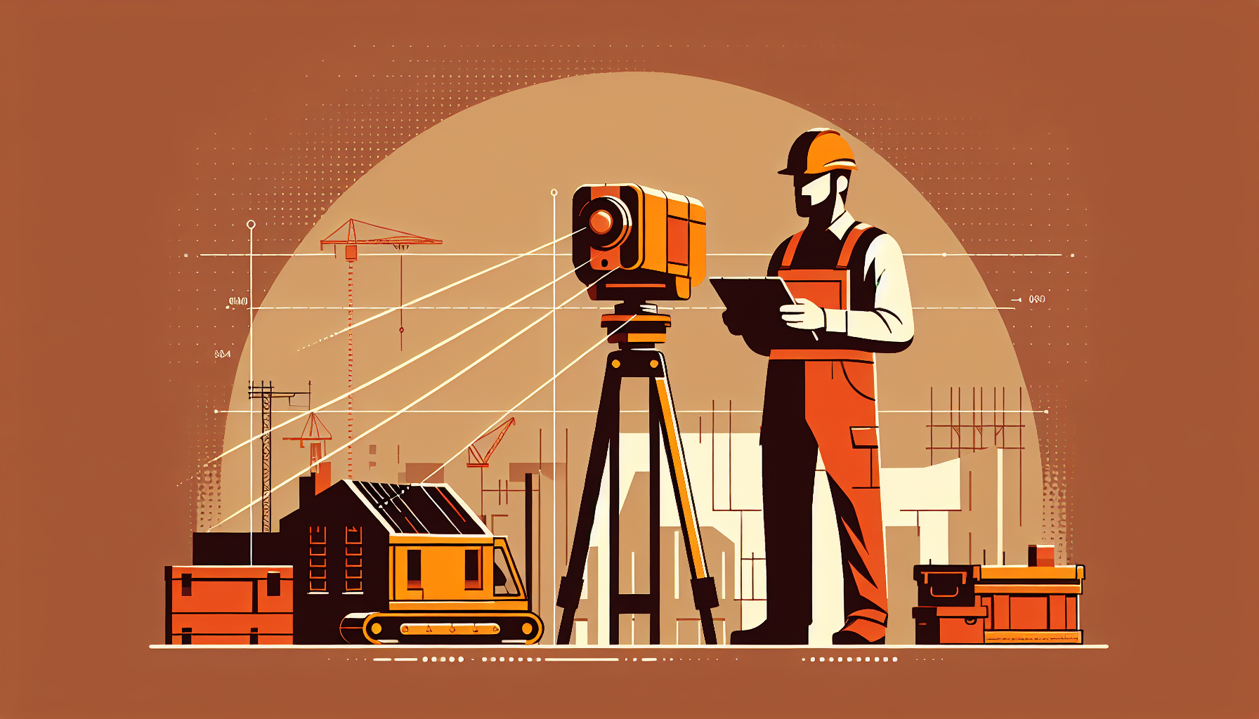
What is LiDAR and How Does it Work?
LiDAR technology, or Light Detection and Ranging, uses laser beams to capture detailed, precise 3D models of landscapes or construction sites. It emits millions of laser pulses per second to measure distances, forming a 'point cloud' that represents the surface being scanned. This data is processed into high-resolution 3D maps.
The technology is transforming the construction industry by providing survey-grade accuracy quickly and efficiently. Compared to traditional methods, LiDAR can reduce on-site measurement time by up to 70%, substantially lowering labor costs. Furthermore, it allows for scanning large areas in a matter of hours, a feat impossible with manual surveying.
- Precision: Accuracy up to 95%, minimizing costly post-construction adjustments.
- Speed: Drastically reduced survey times, enhancing project timelines.
- Automation: Limits human error prevalent in manual data collection.
LiDAR vs. Traditional Measurement Methods
Comparing LiDAR with traditional surveying highlights several distinct advantages, primarily in accuracy and efficiency. While manual surveys might take days or weeks and are prone to human error, LiDAR offers a faster alternative with precision levels up to 95%.
A quick comparison shows:
- Manual Surveys: Labor-intensive, prone to errors, requires physical presence.
- LiDAR Surveys: Rapid, highly accurate, minimal on-site personnel needed.
For contractors, these differences mean fewer delays and less rework, directly impacting project profitability. In this context, Elio integrates LiDAR technology within its contractor management platform to streamline these processes, offering users a substantial edge over competition relying on traditional methods.
Enhancing Construction Estimates with LiDAR
The precision of LiDAR scanning is pivotal to constructing accurate estimates in the construction industry. Traditional estimating methods often face challenges due to inaccurate field data, leading to budget overruns. LiDAR scanning mitigates these risks by providing reliable, precise data that feeds directly into estimating software.
By integrating with Building Information Modeling (BIM) systems, LiDAR data empowers contractors to visualize and plan with unprecedented accuracy. This integration allows for accurate forecasting of material needs and labor hours, which translates into realistic budgeting and bidding.
Elio’s platform leverages these capabilities, enabling contractors to import LiDAR data seamlessly and use it for developing competitive bids and efficient project plans. With Elio, the estimating process becomes more straightforward, accessible, and precise.
Using Drones with LiDAR for Large Scale Projects
Incorporating drones equipped with LiDAR technology is revolutionizing how large construction projects are managed. These drones provide an aerial perspective, optimizing data collection over expansive job sites, which are challenging to survey via traditional means.
Drones equipped with LiDAR can quickly scan entire sites, providing real-time data that enhances project evaluations and ensures ongoing accuracy as the project progresses. Elio’s platform harnesses this real-time data, automatically updating project parameters, thus ensuring all teams have the most current information.
When using drones, contractors can significantly cut down on project-wide surveying costs while simultaneously increasing data accuracy, giving them the upper hand in project management and planning.
Elio: The Pioneering Contractor Management Solution
Elio stands apart from its competitors by seamlessly integrating LiDAR data into its contractor management ecosystem. This integration allows contractors to capture, analyze, and apply high-precision site data directly within their project management processes.
Features such as automatic data syncing, real-time project updates, and comprehensive estimation tools mean that contractors can perform multiple calculations and project mapping tasks without leaving the Elio platform.
With Elio, contractors not only streamline workflow but also reduce potential errors in project estimates, saving on costs and improving overall project outcomes. By subscribing to Elio, users gain a competitive edge, leveraging cutting-edge technology for superior project management.
Practical Steps to Implementing LiDAR with Elio
For contractors interested in adopting LiDAR technology, integration is straightforward with Elio. Here's a step-by-step approach:
- Evaluate Your Needs: Determine the scale of your projects and the extent to which LiDAR can boost efficiency.
- Acquire LiDAR-Enabled Devices: Invest in drones or other LiDAR-equipped hardware suited to your project's size.
- Integrate LiDAR Data with Elio: Use Elio’s platform to seamlessly integrate this data into your management system, facilitating easy access and utilization.
- Train Your Team: Ensure that everyone working with LiDAR and Elio is trained in its use, maximizing the technology's potential benefits.
By following these steps and utilizing Elio, contractors can transform their project estimation and management processes, leading to more accurate results and increased profitability.
Enhancing Estimates with LiDAR Scanning in Construction
LiDAR technology brings unparalleled precision to construction estimate calculations. It captures millions of data points per second, creating accurate 3D models of construction sites. This level of detail ensures that estimates account for all site-specific variables, minimizing errors. In 2026, contractors utilizing LiDAR report up to a 30% reduction in material waste and a 20% increase in project efficiency. By leveraging LiDAR, contractors can present more competitive bids and enjoy higher project win rates.
The Future of Construction Estimates: LiDAR and Beyond
As technology advances, construction estimates are evolving beyond traditional methods. In 2026, LiDAR scanning stands out as an industry leader. It not only provides precise measurements but also integrates seamlessly with BIM software, facilitating better project visualization. Forward-thinking contractors are harnessing these capabilities to deliver detailed, accurate estimates faster than ever. As a result, they can provide clients with higher confidence levels in their projects’ feasibility and anticipated timelines.
How Elio Solves Estimation Challenges with LiDAR
Elio's platform revolutionizes the estimation process by integrating advanced LiDAR scanning with intuitive contractor management tools. It simplifies the data collection process, enabling contractors to generate detailed estimates without diving into the complexities of raw data. Elio offers features like automated project updates and real-time collaboration, streamlining communication and ensuring project stakeholders are aligned. Contractors using Elio experience up to 25% faster project completions, reducing costs and enhancing client satisfaction.
Ready to Simplify Your Contracting Business?
Join thousands of contractors using Elio to manage jobs, invoices, and teams — for free.
Try Elio Free →The advantages of LiDAR scanning for construction estimates are undeniable. By integrating this technology with Elio, contractors gain precise control over project dynamics, paving the way for more efficient, profitable projects. Discover how Elio can revolutionize your project management by trying it for free at eliocareorg.cloud.